Open source, free to use
Build a world from the ground up.
Generate a world map from a seed. Shape its terrain, rivers, climate and borders, then choose a map style and export the result.
Free and open source · Your maps stay on your device
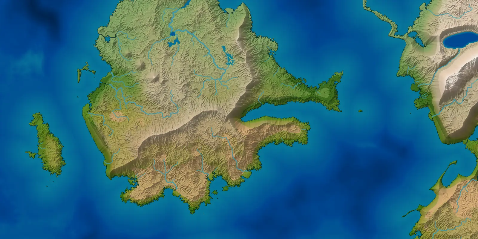
How a world is made
Plates and mountains
Moving tectonic plates form mountain ranges, volcanic arcs and broad plateaus. Where plates pull apart, rift valleys can fill with water.
Erosion
Erosion reshapes the terrain. Slopes collapse, rivers carve valleys, and sediment builds floodplains, fans and deltas.
Seas and ice
Continental shelves lie along the coasts. Glaciers shape cold mountains, and ice sheets leave behind basins and lakes.
Climate
Seasons, ocean currents and terrain shape temperature and rainfall. Climate zones decide where forests, grasslands and deserts form.
Rivers and lakes
Water flows downhill into rivers, lakes and seas. In dry inland basins, evaporation can shrink a lake and leave salt behind.
Realms and peoples
Geography shapes borders and settlement. Realms follow rivers, coasts and watersheds, while peoples spread into familiar terrain and across political borders.
Realistic map styles
Compare the same landscape in Atlas, Schoolroom and Natural. Atlas combines elevation and climate colours, Schoolroom shows elevation, and Natural uses colours taken from satellite imagery.

The data behind the map
The temperature, ocean currents, winds and rainfall calculated for the same coastline.

More map styles and data views are in the generator.
Features
- Views
- Fifteen views, including political borders, peoples, elevation, biomes, seasonal temperature and rainfall, tectonic plates, ocean currents and winds.
- Styles
- Twelve map styles, including Atlas, Vellum, Ink wash, Nautical, Pen and ink, Mars, Natural and a colour-blind-safe palette.
- Themes
- Seventeen interface themes, including light, dark, high contrast and colour-blind options.
- Editing
- Edit generated names and borders. Your changes are saved with the world.
- Saves
- Save a world and reopen the same file in the browser or the desktop app.
- Export
- Export map images as PNG, WebP or JPEG, or the data behind the map: a 16-bit heightmap with its metre scale, and biome and realm index maps with their legends. Up to 4096 × 4096 in the browser and on the desktop; phones are capped at 2048 × 2048.
- Resolution
- Choose the world's resolution. Higher settings add detail and need more memory; the browser starts at 512, the desktop app at 1024.
- Acceleration
- Optional graphics acceleration speeds up erosion and export rendering: WebGPU in the browser, OpenGL on the desktop.
Notes
Running it in a browser
Use a recent Chrome, Edge, Firefox or Safari. The first visit downloads the generator, about 4.6 MB, and caches it; nothing you make is uploaded anywhere.
Optional graphics acceleration uses WebGPU where the browser offers it.
Sizes, formats and speed
An export regenerates the world at the size you ask for, so the detail is real rather than enlarged. Larger worlds take longer and use more memory. On phones, browser exports are capped at 2048 × 2048 to keep memory in bounds.
PNG keeps every pixel. WebP is smaller and softens thin rivers and borders slightly.
The Atlas is a work in progress
Today the Atlas lists a world's realms and landmarks and lets you rename them and place labels. Your changes are saved with the world. A later release, planned for 5.0, adds named continents, seas, bays, straits and ranges, with labels set out the way a printed atlas sets them.
Desktop versionWindows · Linux
Generate larger worlds with a desktop app that uses every processor thread. Download and Installation below says what each platform offers and how to install it; the steps live there rather than here, so there is one copy of them to keep true.
Get the latest release ↗Download and Installation
Choose a download for Windows or Linux, or run Cartogenesis in the browser.
Windows
Unzip the portable zip and run Cartogenesis.exe. Nothing is installed. Or choose the MSI installer. It is unsigned, so Windows shows a SmartScreen warning. If you trust the download, choose “More info”, then “Run anyway”.
Cartogenesis-<version>-windows-portable.zip · Cartogenesis-<version>.msi
LinuxDebian · Ubuntu
The apt repository is recommended. The three commands below fetch the signing key, add the source line and run apt install. Alternatively, install the .deb with apt, or unpack and run the portable tarball. Java is bundled, with nothing else to install. The open-source graphics stack (Mesa) was tested. The proprietary NVIDIA driver was not. Saved worlds live in ~/.cartogenesis/worlds.
sudo curl -fsSL https://cartogenesis.com/apt/key.asc -o /etc/apt/keyrings/cartogenesis.asc
echo "deb [signed-by=/etc/apt/keyrings/cartogenesis.asc] https://cartogenesis.com/apt stable main" | sudo tee /etc/apt/sources.list.d/cartogenesis.list
sudo apt update && sudo apt install cartogenesis
Cartogenesis-<version>-linux-amd64.deb · Cartogenesis-<version>-linux-portable.tar.gz
Browser
Run Cartogenesis at cartogenesis.com. Nothing is installed and nothing is uploaded. You can also host the web zip yourself over HTTPS.
Cartogenesis-<version>-web.zip
Every file above, for the current release, with the notes saying what changed in it.
What comes next
Planned releases and what each one brings. No dates: a release lands when its work is done.
- 3.0.0
- The realism audit: the plates, the seas, the air and the water measured against Earth, and corrected where the measurement showed how.
- 3.1.0
- Rainfall that holds up at larger map sizes, monsoon coasts, ice sheets with the shape and weight of ice, and softer woodland edges.
- 3.2.0Current
- Erosion shaped by rain and vegetation, rivers that begin with the slope and the flow, and ice sheets without stripes down their flanks.
- 3.3
- Waves that shape beaches, spits and barrier islands.
- 3.x
- Saved worlds that keep opening after an update.
- 3.x
- Wetter continental interiors, and cold currents that make coastal deserts.
- 3.x
- Rivers that widen downstream, with meanders, braided reaches and marshes.
- 3.x
- A topographic map style with contour lines.
- 3.x
- Hydraulic erosion on the graphics card.
- 3.x
- A choice of world width.
- 4.0
- The world as a sphere: a globe to turn, and a choice of map projections for the whole-world map and for exports.
- 4.x
- Faster generation on more desktop graphics cards.
- 4.x
- Import a heightmap, from Wonderdraft or any greyscale image, as the terrain a world is generated from.
- 4.x
- Choose the kind of world the generator starts from, and paint the land yourself: continents form where and as you draw them, coastlines stay where you put them subject to erosion, and the climate, rivers and everything else are still generated on top.
- 5.0
- The atlas: named land and sea features, with labels arranged the way a printed map arranges them. Renaming places and moving labels already work and stay.
- 5.x
- Estuaries, reefs and atolls.
- 6.0
- Symbol packs placed on layers over the generated map.
Found something wrong? Report it with the seed and the generation resolution. Open an issue, or write to [email protected]. Help ▸ Report a bug… in the app fills the form in for you.
Have a feature in mind? Say so. Suggest a feature, or write to [email protected].